

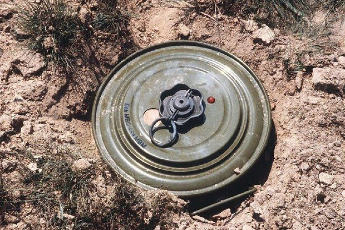
"Landmine maps, provided by Armenia, reflect just areas belonging to the previous line of contact (LoC), mine areas, which were installed for defense," said Deputy Chairman of Board of ANAMA Samir Poladov at the briefing on the opening of regular bus routes to the territories liberated from occupation, APA reports.
S. Poladov has noted that there are no maps of mined areas, planted away from the previous line of contact, mines, planted away from the line of contact, have not been reflected in the landmine maps, submitted by Armenia: "Problem of mine, thick mining have namely been in the previous line of contact. Shusha and Aghdam cities are situated in a very long distance from the previous line of contact."

 UPDATED'>